Understanding Naples Gulf Access Types for Boaters
Are you seeing “direct Gulf access,” “no-bridge,” and “deep canal” in Naples listings and wondering what really matters for your boat and lifestyle? You are not alone. These phrases are helpful, but they do not tell the whole story about boat size, travel time, or everyday convenience. In this guide, you will learn what each term means in Naples, how to estimate your run to the Gulf, and the simple checks that protect your purchase. Let’s dive in.
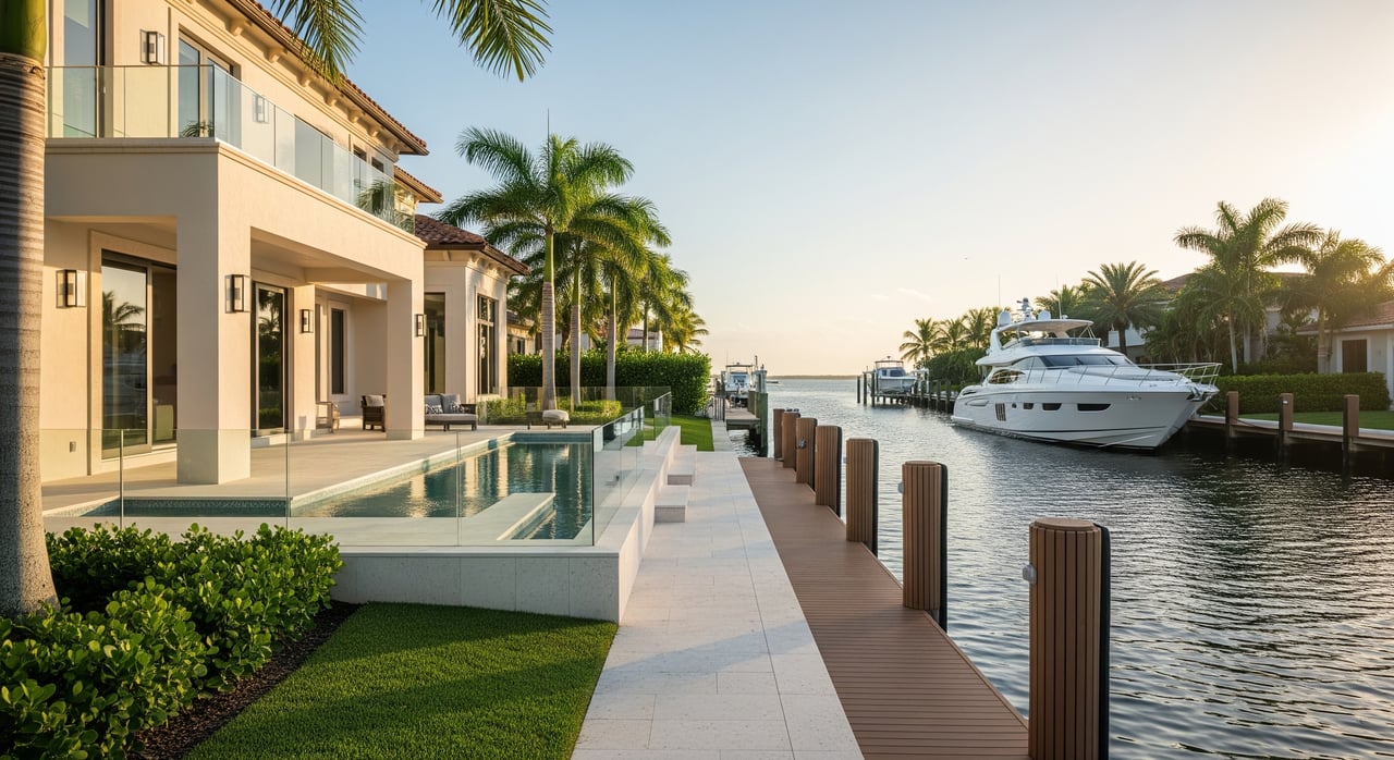
“Direct Gulf access” means your waterway connects to the Gulf of Mexico without locks, long inland detours, or structures that block a normal route. In practice, this often means a shorter, simpler run to open water and easier spur-of-the-moment outings.
It does not guarantee the canal is deep or wide enough for your specific boat. You still need to confirm depth at low tide, canal width, turning room, and any posted speed limits. Think of “direct” as an access shortcut, not a complete green light for every vessel.
“No-bridge,” “no fixed bridge,” or “no vertical obstructions” means you do not need to pass under a fixed bridge with limited clearance or wait for a movable bridge. This is especially important for sailboats and tall-mast sportfishing rigs.
For many center consoles and runabouts, vertical clearance is rarely the limiter. Depth, canal width, and turning room usually matter more. Always verify the entire route to the Gulf, not just the canal in front of the house.
Width drives how comfortably you can pass neighbors, handle wind or current, and turn a larger boat. Depth, measured against your boat’s draft at mean low water, determines if you can move without risk when tides are at their lowest. Turning room and berth length decide whether docking is smooth or stressful.
“No-wake” areas require idle speed so your boat does not create waves that can damage shorelines, docks, or disturb wildlife such as manatees. These zones increase total run time to the pass and impact your day-to-day experience.
If a listing says “minutes to the Gulf,” ask how much of that route is posted no-wake. The more restricted segments you have, the slower your average speed will be.
For example, a planing powerboat at 20 knots covers 1 nautical mile in about 3 minutes. Idle or no-wake sections at about 6 knots take about 10 minutes per nautical mile. If you are 2 nautical miles from the pass and the first 0.5 mile is no-wake, expect roughly 5 minutes for the no-wake portion plus about 4.5 minutes underway at speed, about 9.5 minutes total, plus docking.
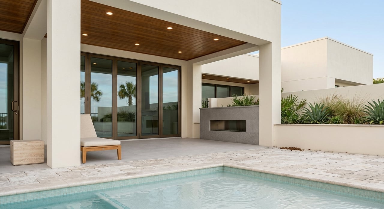
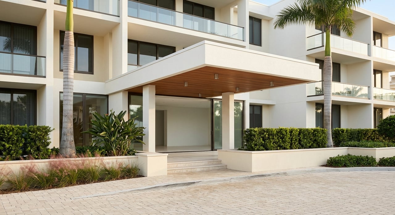
Naples has a mix of natural passes, bays, and man-made canals. Neighborhoods like portions of Port Royal, Aqualane Shores, and Old Naples often have very short runs to the Gulf. Other systems funnel into Naples Bay or a nearby pass first. Distances are usually short compared to many Florida markets, but canal depth, width, and no-wake segments still shape your actual run time.
Tides in Southwest Florida are modest, often on the order of a foot or two. Shoaling near passes and in canals can change over time, and dredging may be periodic. Ask for current information and recent maintenance records for the canal or basin you plan to use.
Do these steps before you fall in love with a property’s view:
Route and distance
On-water verification
Records and maintenance
Rules and restrictions
Insurance and resale
Match your boat to the property, not the other way around. Verify draft against mean low water, turning room for your length and handling, and beam fit for comfortable transits. If you plan to upsize your boat later, make sure the canal dimensions and dock layout will still work.
If you want a calm, clear path to the right waterfront fit, we can help you verify the route, decode listing language, and coordinate the right pros for on-water checks. As educators turned advisors, our goal is to make your Naples boating lifestyle both simple and safe. Start a conversation with Jesse & Jeri Hannon to plan your next steps.
Stay up to date on the latest real estate trends.
You’ve got questions and we can’t wait to answer them.
Hannon Team
(239) 682-6262
[email protected]
1495 Pine Ridge Rd
Naples, FL 34109
14502 North Dale Mabry Highway
Tampa, FL 33618